Aerial Marketing Imagery
Commercial Real Estate
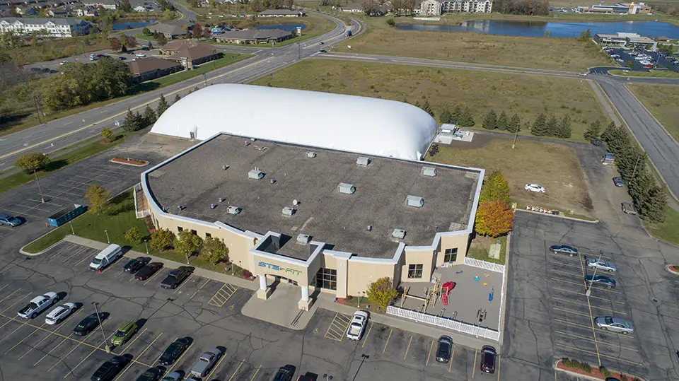
I am an FAA licensed drone pilot and have provided aerial imagery for commercial real estate since 2015, supported by 25 years of computer graphics and post-production photo editing. I work with you to capture images from the perspectives that best present the property.
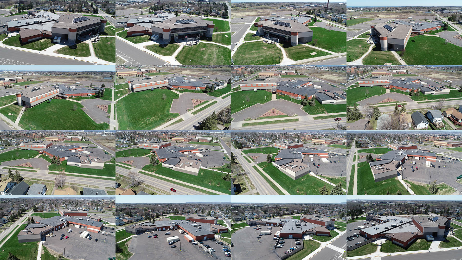
Aerial photos and video are essential when presenting commercial sites to investors or clients. Only elevated angles can convey scale, setting, and access. Distinct viewpoints highlight landscaping, neighborhood context, proximity to roadways and interstates, storefronts, nearby amenities, and parking.
Showcase the property with high-resolution images ready for print or digital use. Professionally edited photos support presentations, brochures, offering memoranda, and other marketing materials.
- Topographic view of building(s) and property
- 400 ft area view — all directions
- Mid-level *250 ft view — all directions
- Low-level *100 ft view — all directions
- Roof level — several angles
- Ground level — several angles
- Sign angle — sign with building in background
- Unique angles — tailored to each request
Aerial Photography
Residential Real Estate
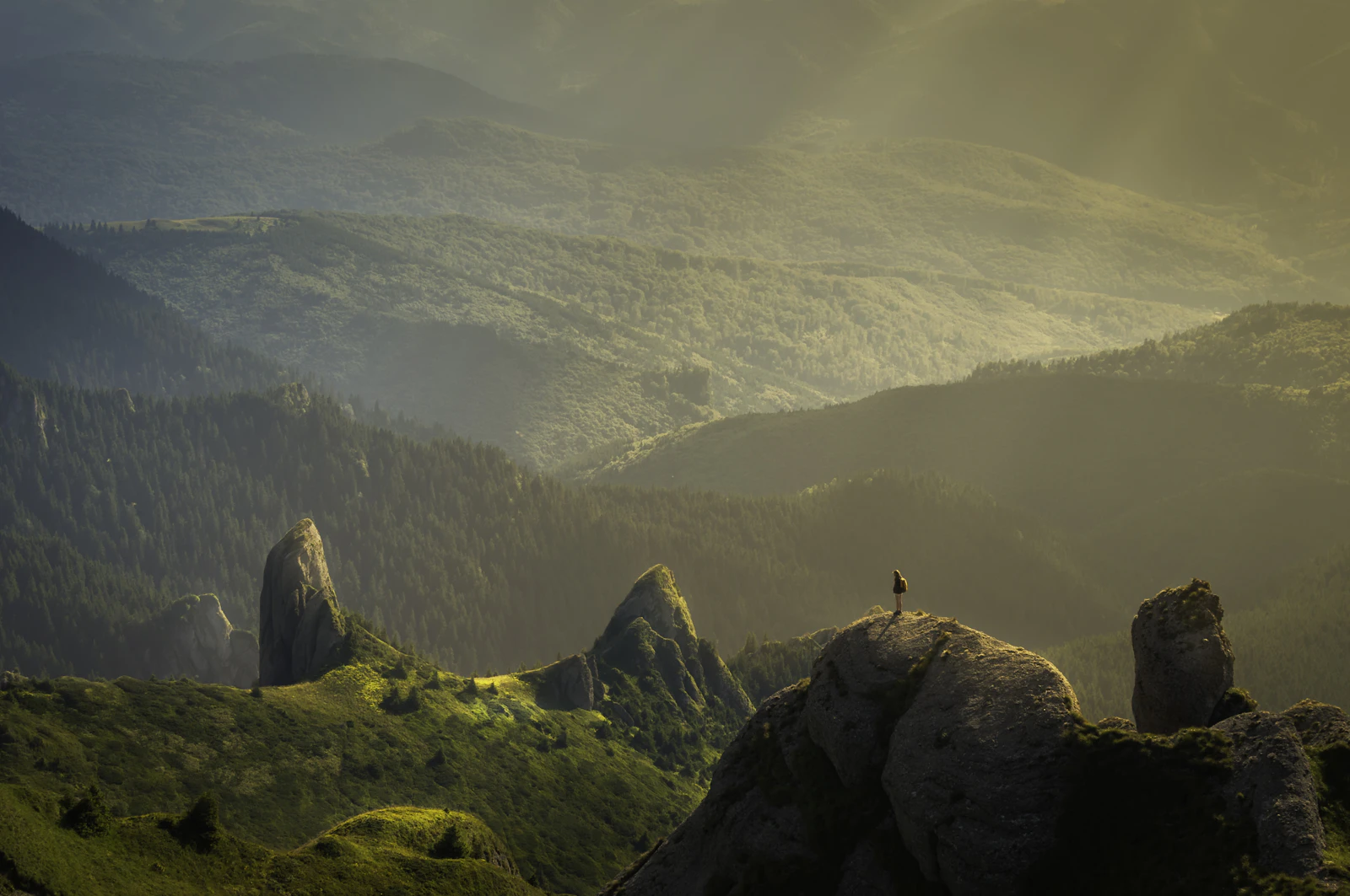
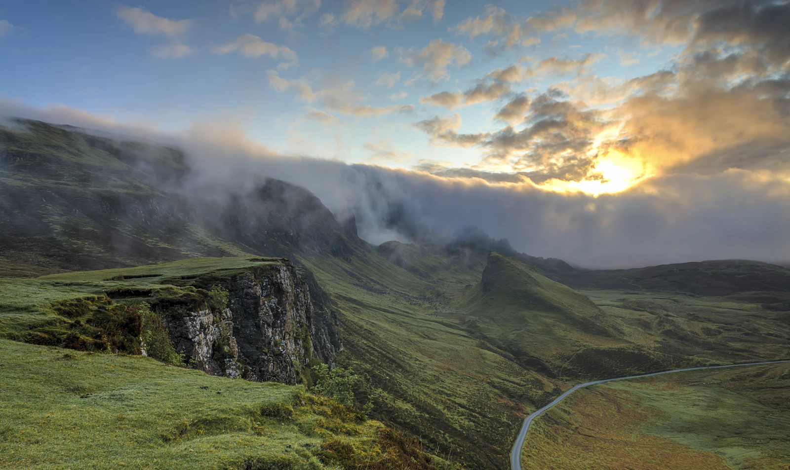
Listings with strong indoor photos still often lack the eye-catching power of aerial views. Bird’s-eye perspectives strengthen marketing for lake homes, river homes, large acreage, hillside sites, high-end estates, and distinctive features. A focused set of aerial images can be delivered at a reasonable price.
A listing’s cover photo is the last chance to make a first impression. Drone images add the wow factor that draws initial interest. I am an FAA licensed drone pilot and have provided aerial shots for real estate since 2015, with 15 years of ground photography and post-production editing experience.
- Lake homes
- Riverside homes
- Large acreage
- Hillside property
- High-end estates
- Unique features
Indoor Photography
Residential Real Estate
Expert Drone Shots can deliver aerial images only or complete indoor and outdoor coverage. Interior photography highlights the kitchen, living areas, master suite, and other rooms that matter most to buyers. Images are captured with a DSLR and a 15mm wide-angle lens.
HDR multi-exposure merging and Photoshop post-production refine each frame so rooms are shown clearly and accurately. Files are delivered in full-size print versions and web-optimized versions for listing platforms.
- Kitchen
- Living areas
- Master bedroom
- Master bath
- Additional rooms
- Unique features
Progress Documentation
Construction Imagery
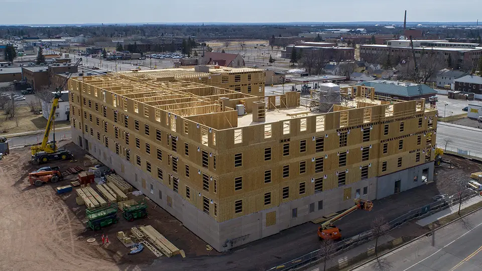
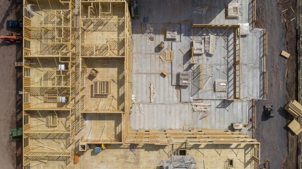
Drone photography is an effective way to monitor construction progress. An entire project can be recorded from the air with photos and video that reveal angles not available from the ground. Images from varied altitudes, distances, and directions help communicate the full scale of the work.
A series of aerial photos taken from consistent angles at set intervals is a clear way to update investment teams and keep clients informed. High-definition imagery lets stakeholders see current status with confidence. EDS provides files that are easy to download and share with investors and prospective clients.
Ongoing imagery can also support marketing as the project advances. Contact EDS when aerial photography is needed on a construction site.
- Scheduled progress sets from matching viewpoints
- Multi-altitude coverage of the full site
- Shareable photo and video files for stakeholders
- Marketing-ready imagery throughout the build
CAD Point Cloud Modeling
Photogrammetry
Photogrammetry creates accurate 3D models of a building or property. A sequence of aerial photographs taken from all sides of the subject is combined into a true three-dimensional representation of structures and surrounding land.
The resulting CAD-compatible point cloud can be refined and adapted for project presentations, planning reviews, and related documentation. This approach is useful when teams need measurable spatial context rather than still images alone.
- Multi-angle aerial capture around the subject
- Merged 3D building and site model
- CAD-compatible point cloud for further work
- Presentation-ready spatial documentation
COMMERCIAL REAL ESTATE PHOTOGRAPHY
I am an FAA licensed drone pilot and have been providing aerial drone shots for commercial real estate since 2015. In addition I have 25 years’ experience with computer graphics and post-production photo editing. I will work with you to acquire images from any perspective you desire.
Aerial photos and video are essential tools for presenting commercial properties to investors or clients. Only elevated angles can showcase size and location. Unique perspectives to see beautiful landscaping, a view of the neighborhood, convenience to roadways and interstates, popular storefronts, nearby attractions or amenities, and parking accommodations.
Showcase your clients’ property with high resolution images ready for print or digital media. Professionally edited and enhanced photos can be used for presentation, brochures, offering-memorandum, or any other materials required.
- Topographic View of building(s) and property
- 400 ft Area View – all directions
- Mid-Level *250 ft View – all directions
- Low-Level *100 ft View – all directions
- Roof Level – several angles
- Ground Level – several angles
- Sign Angle – sign with building in background
- Unique Angles – differs per request
Retail Stores - Shopping Centers - Office Buildings - Housing Developments - Apartment Buildings - Manufacturing Plants - Warehouses - Golf Courses


RESIDENTIAL REAL ESTATE PHOTOGRAPHY
AERIAL PHOTOGRAPHY
Properties that have great indoor photos often lack the eye-catching 'must click' power of aerial photographs. Bird's eye perspectives can significantly augment listings for lake homes, river homes, large acreage property, high end estates, hillside views, and unique features. A handful of great aerial views can be offered at a reasonable price. A listing's cover photo represents the last chance to make a first impression. Drone photos can add the 'wow' factor needed to gain initial interest. I am an FAA licensed drone pilot and have been providing aerial drone shots for the real estate industry since 2015. In addition I have 15 years’ experience with ground photography and post-production photo editing.
- Lake Homes
- Riverside Homes
- Large Acreage
- Hillside Property
- High-End Estates
- Unique Features


INDOOR PHOTOGRAPHY
Expert Drone Shots can meet your needs whether the job requires aerial images only – or complete indoor/outdoor photography. I can capture great images highlighting the kitchen, living areas, master bedroom, and all of the other areas of most importance to potential buyers. Professional photographs taken with a DSLR camera and 15mm wide angle lens. With use of HDR multi-exposure photo merging technology and post production Photoshop expertise all of your images will be optimized to best capture each room. All images will be available in full size files for print as well as more manageable web optimized files.
- Kitchen
- Living Areas
- Master Bedroom
- Master Bath
- Additional Rooms
- Unique Features


CONSTRUCTION IMAGERY
Drone photography is a great tool for monitoring construction progress. Capture an entire project from the sky with captivating photos and videos that can showcase formerly unseen angles. Images from a variety of altitudes, distances, and directions offer great materials to demonstrate the full scale of your critical operation.
Series of aerial photos taken from similar angles over predetermined time intervals may be the best way to update investment teams or communicate clearly to clients and potential customers. With high definition photos and great clarity stakeholders will be able to visualize project status. EDS can offer photos and video in formats that can be easily downloaded and shared across the range of investors or perspective clients needing updated information. This ongoing imagery may come in very handy for marketing purposes as well.
Contact EDS when aerial photography is desired on your construction project.
PHOTOGRAMMETRY
CAD Point Cloud Modeling
Photogrammetry is a unique way to create 3D models of a building or property. A series of aerial photographs taken from all angles around a specific subject can be merged together creating a genuine 3D representation of both buildings and property. This CAD compatible Point Cloud model can then be modified and improved to be used for project presentation objectives.