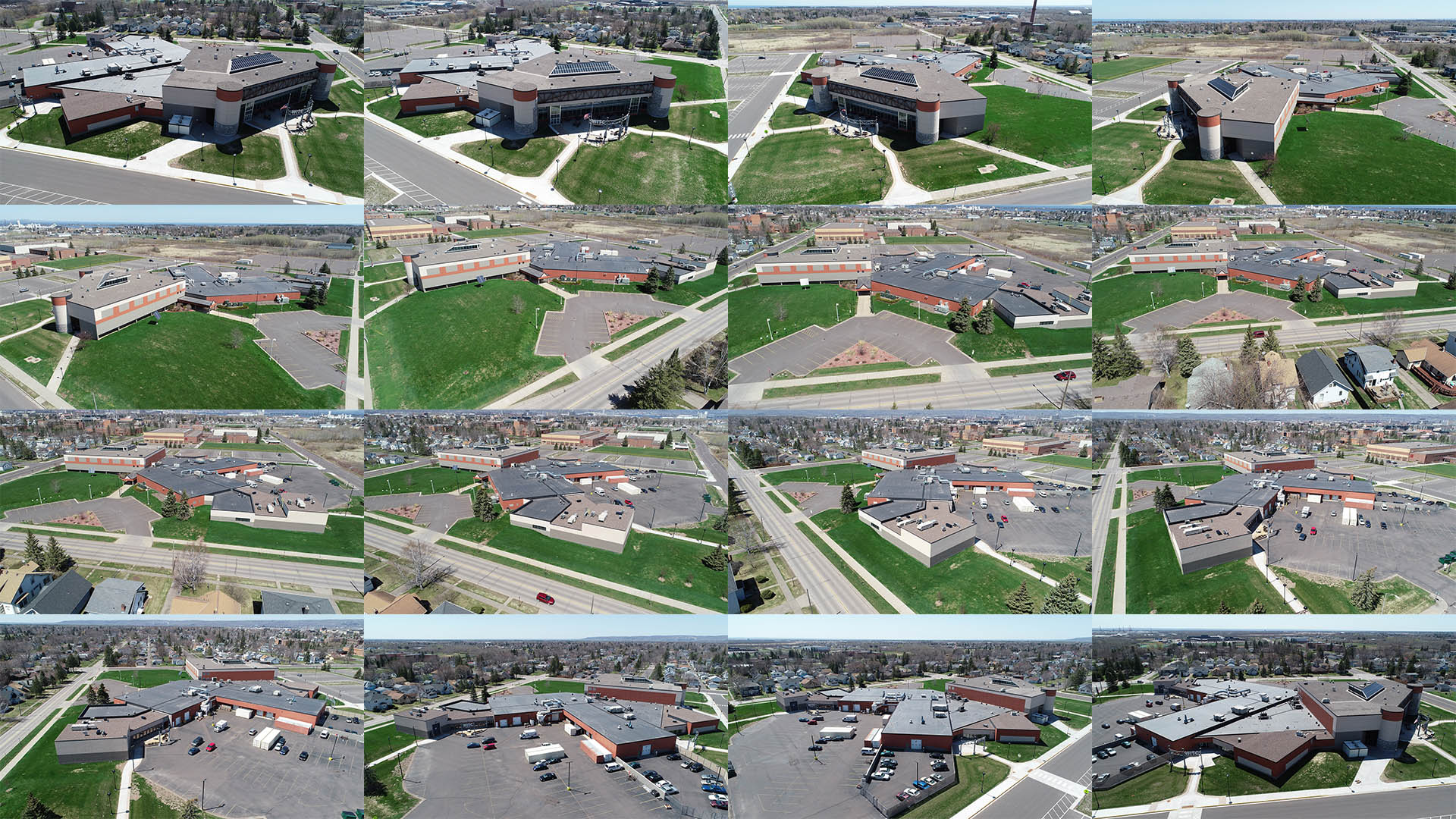
PHOTOGRAMMETRY
CAD Point Cloud Modeling
Photogrammetry is a unique way to create 3D models of a building or property. A series of aerial photographs taken from all angles around a specific subject can be merged together creating a genuine 3D representation of both buildings and property. This CAD compatible Point Cloud model can then be modified and improved to be used for project presentation objectives.